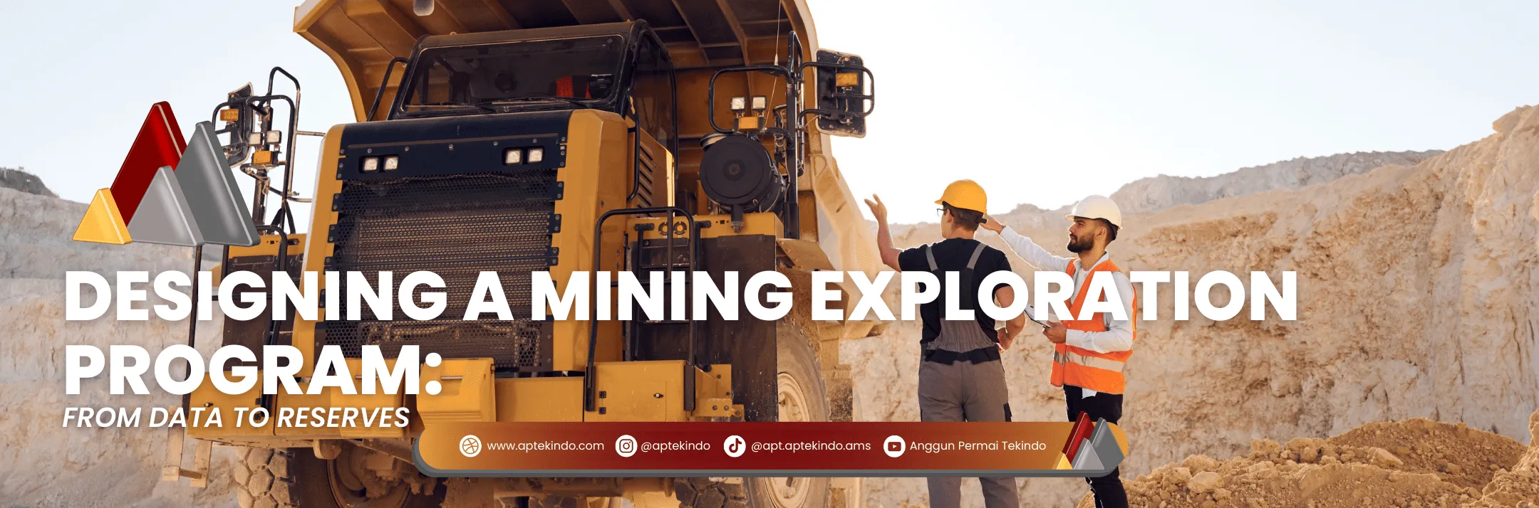
If a mine were a movie, then exploration would be the opening chapter that determines whether the story continues to the big screen or stops at the script.
A mining exploration program is not just about digging dirt and looking for gold—it’s a systematic process: collecting data, testing, modeling, and laying out long-term plans.
Planning Stage: Mapping the Journey
Sumber: google.com
It all begins with an official document called the RKAB (Work Plan and Budget).
Its contents include:
- Exploration objectives → whether to discover new deposits, expand an existing area, or confirm old reserves.
- Exploration methods → geological surveys, mapping, drilling, and laboratory testing.
- Work schedule → when the surveys are conducted, how long drilling will take, when the report will be submitted.
- Cost estimates → covering field surveys, transportation, equipment, and lab analysis.
📌 Without an RKAB approved by the Ministry of Energy and Mineral Resources (ESDM), exploration activities cannot be carried out.
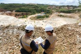
Early Exploration: Reading the Signals at the Surface
Sumber: google.com
This stage is like “smelling the aroma of food” before actually seeing it.
The methods used include:
- Geological Mapping → geologists create maps of rock types, folds, and fractures.
- Geophysics → instruments such as magnetometers or resistivity tools detect underground anomalies, like an “ultrasound of the earth.”
- Geochemistry → soil, water, and rock samples are tested for chemical elements, such as copper or gold content.
👉 The results are not final, but they are enough to indicate whether “something is down there.”
Detailed Exploration: From Assumptions to Evidence
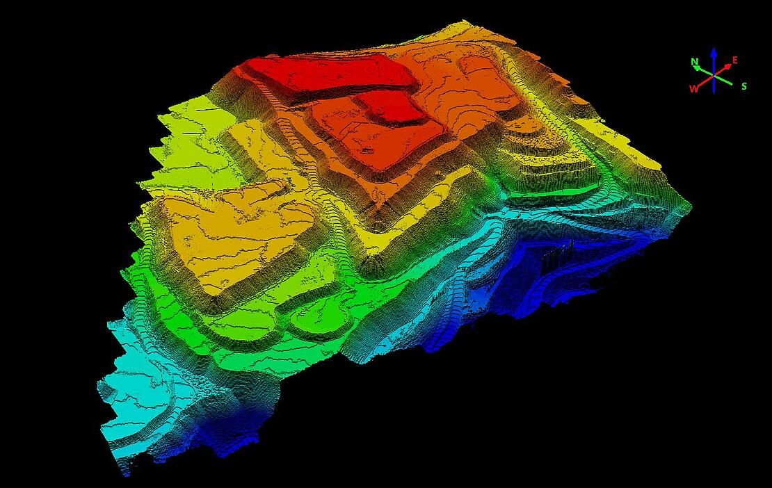
Sumber: google.com
If the early results are promising, the team moves to a more expensive and detailed phase:
- Core Drilling → drills take cylindrical rock samples (cores), which reveal the sequence of rock layers and mineralization.
- Core Logging → geologists record color, texture, and mineral content for each meter of core.
- Laboratory Analysis → samples are tested for metal content, density, and rock mechanical properties.
- Geostatistics & 3D Modeling → all data is combined to estimate how much mineral reserve is available, its quality, and how feasible it is to mine.
📊 This stage produces measured, indicated, and inferred resources.
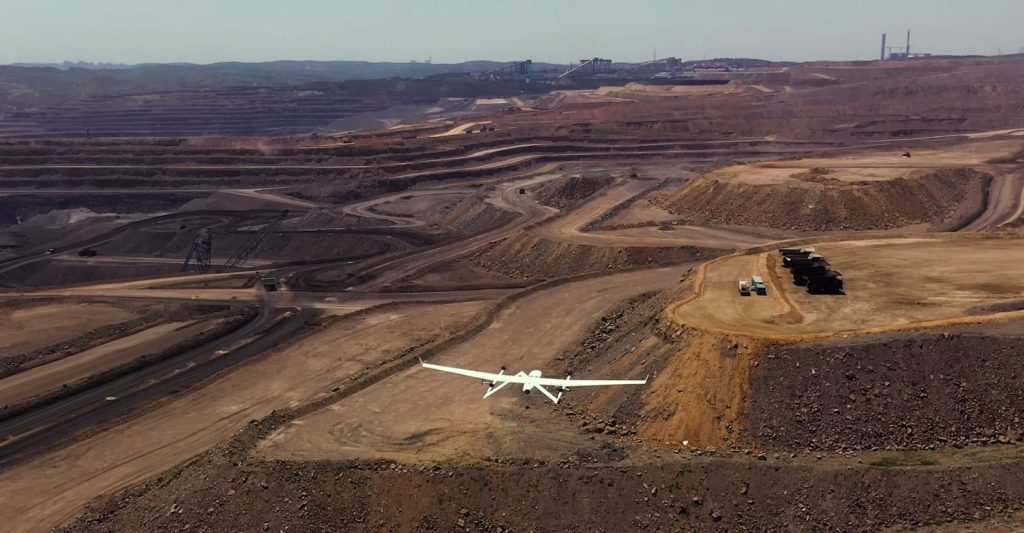
Supporting Technology: The Modern Eyes of Mining
In the past, exploration relied on compasses, geology hammers, and paper maps.
Today, technology lends a hand:
- Drones & LiDAR → map mining areas at high resolution, even through vegetation.
- Ground Penetrating Radar (GPR) → detects underground layers without digging.
- Digital Twin & Geostatistical Software → create 3D reserve models that can be “rotated and analyzed” on a computer screen.
- Integrated Databases → field data is instantly stored digitally, enabling faster and more accurate analysis.
⚡ The result: exploration becomes faster, more cost-efficient, and more accurate.
Regulations & Compliance: The Safe Path of Exploration
Exploration is not just about technical work—it’s also about laws and permits.
Some key rules in Indonesia include:
- Annual RKAB → must be approved by the government.
- Government Regulation No. 25/2023 → opens opportunities for assignment licenses to expand exploration activities, but also imposes strict sanctions if companies fail to comply.
- Exploration Reports → must be transparent, detailed, and auditable by mining inspectors.
Compliance is not a burden—it is a guarantee of business sustainability.
Exploration as an Investment
Many people assume exploration is “wasting money” because it is expensive.
In fact, the opposite is true:
- Exploration is a long-term investment to ensure a mine is truly viable.
- Without proper exploration data, mines can be poorly designed → haul roads collapse, heavy equipment is damaged, and even workers’ lives are endangered.
- Solid exploration = lower risks + higher profits.
📚 References
- Share